
Show part of a map by longitude and latitude limits while keeping the
projection it was drawn in. The 3.0.0 documentation zoomed with
coord_quickmap(xlim, ylim), which on a projected map silently replaces
the projection with an unprojected one.
Examples
# \donttest{
snap <- countryatlas::world_snapshot$countries
europe <- attach_geometry(snap, geometry = "polygon") |>
world_map(gdp_per_capita)
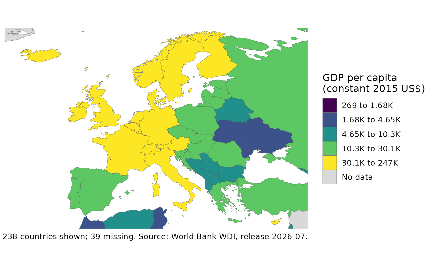
zoom_map(europe, xlim = c(-25, 45), ylim = c(34, 72))
 # }
# }