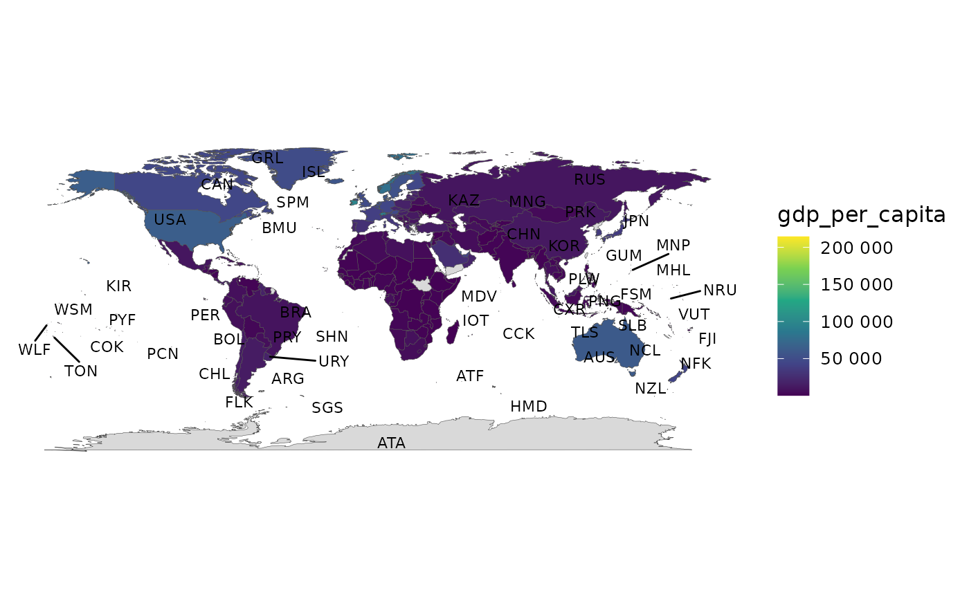
A ggplot2 layer that places labels (names, ISO codes or flag emoji) at
country centroids, with optional ggrepel collision avoidance. Designed for
the polygon backend produced by world_data() / join_world().
Examples
# \donttest{
library(ggplot2)
snap <- countryatlas::world_snapshot$countries
if (requireNamespace("maps", quietly = TRUE)) {
  mapdf <- attach_geometry(snap, geometry = "polygon")
  world_map(mapdf, gdp_per_capita) + geom_country_labels()
}

# }
# }