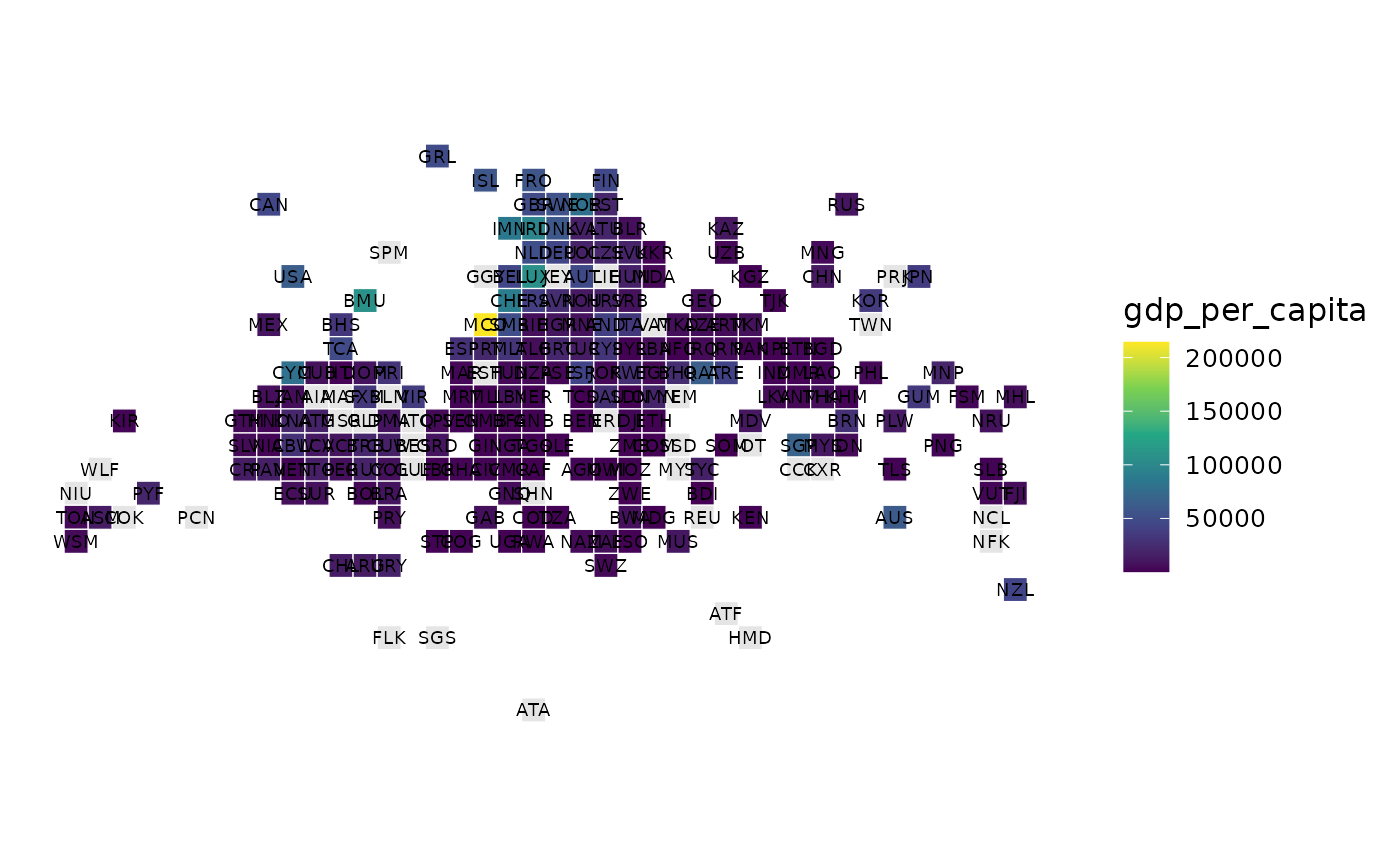
A statebins-style equal-area tile grid of the world (one square per country)
so tiny states are actually visible. Uses the bundled world_tiles layout
(and geofacet when available for small multiples).
Examples
# \donttest{
tile_map(countryatlas::world_snapshot$countries, gdp_per_capita)

# }
# }